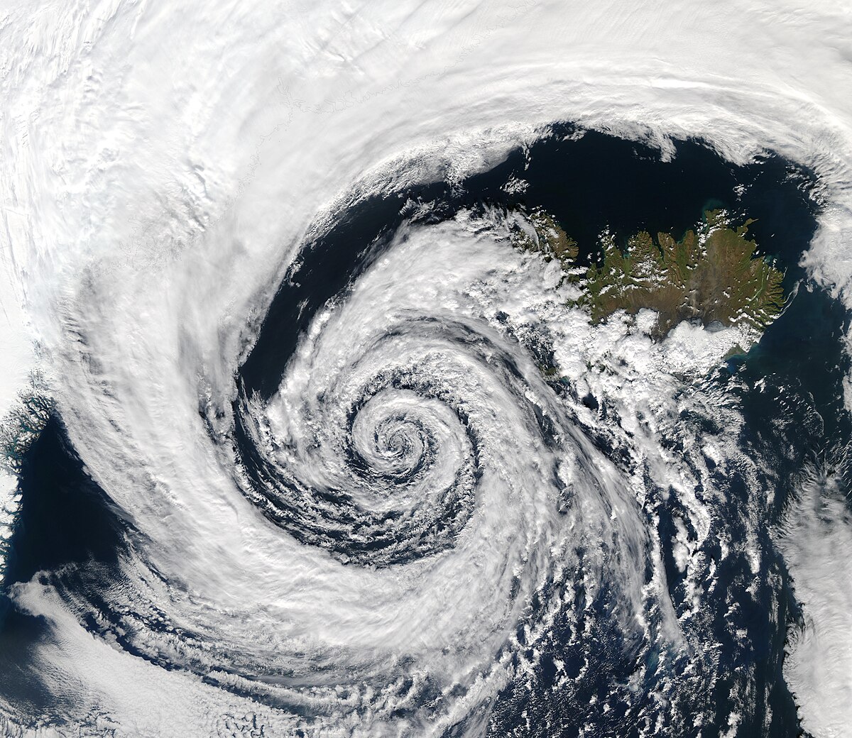
Bhubaneswar( Focus Plus) : The India Meteorological Department (IMD) has forecasted that a low-pressure area is likely to form over west-central and adjoining north Bay of Bengal around 27th May.
The agency further predicted that the system may move north-northwestwards along the Odisha coast and lead to the enhancement of the monsoon current over the Bay of Bengal.
Models like NCUM, IMD GFS and ECMWF are indicating that the remnant of an existing well-marked low-pressure area over south Madhya Maharashtra and adjoining Marathwada and North Interior Karnataka would move across Marathwada, Telangana and Andhra Pradesh and emerge into westcentral and adjoining northwest Bay of Bengal around 27th May. It would lead to the formation of a low-pressure area over the same region. Gradually, it is predicted to move north-northwestwards along the Odisha coast and may lead to the enhancement of the monsoon current over the Bay of Bengal,” the IMD said in its tropical weather outlook issued today.
However, NCEP GFS is indicating the development of a low-pressure area over eastcentral Bay of Bengal on 26th May and a depression over eastcentral Bay of Bengal on 27th May. Thereafter, it is indicated to move north-northwestwards and cross the Bangladesh coast as a deep depression or higher intensity system around 29th May/00 UTC, the outlook said.
Considering all the above, low probability is assigned to the formation of depression over the Bay of Bengal during 28th-29th May, the outlook concluded.


